

How to Use This Regional Reference
The contiguous United States spans more than 3,000 miles from coast to coast and nearly 1,600 miles from north to south. That scale means road trip planning is never one-size-fits-all. Terrain, climate, infrastructure density, and seasonal road hazards vary dramatically by region - and those differences affect everything from your vehicle prep to your daily driving window.
This reference organizes the country into five broad road trip corridors: the Northeast, the South, the Midwest, the Mountain West, and the Pacific Coast. For each, you'll find terrain characteristics, typical seasonal considerations, and the driving demands that distinguish the region from others. Use it as a starting point when mapping a route, not as a substitute for checking current road conditions before you depart.
For deeper route-planning help, see our Road Trip Planning for First-Timers guide, which covers everything from budgeting to overnight stops.
Region-by-Region Breakdown
Northeast
The Northeast corridor - roughly Maine to Virginia - features dense interstate infrastructure, frequent urban congestion, and unpredictable four-season weather. Winters bring heavy snow and black ice on mountain passes through the Appalachians and Adirondacks. Spring can bring flooding on lower-elevation routes. Toll roads are common; having a compatible transponder or cash reduces delays. Rural stretches in northern New England and western Pennsylvania can have limited cell coverage and sparse fuel stops.
The South
Stretching from the Carolinas through Texas, the South offers generally mild winters but intense summer heat and humidity, with Gulf Coast regions vulnerable to hurricane-season disruptions (roughly June through November). Flat to gently rolling terrain through the Deep South and Gulf Coast makes for straightforward driving, while the Ozarks and Appalachian foothills demand more attention. Flash flooding is a documented hazard in central Texas and parts of the Southeast; monitor weather alerts closely.
Midwest
The Midwest's wide-open Plains states provide long uninterrupted driving days with minimal elevation change, but summer thunderstorm activity and winter blizzards can close roads with little warning. Interstate coverage is generally strong, though rural routes through the Dakotas, Nebraska, and Kansas can stretch 50 or more miles between services. Spring tornado season affects parts of the region; know how to respond to severe weather alerts while on the road.
Mountain West
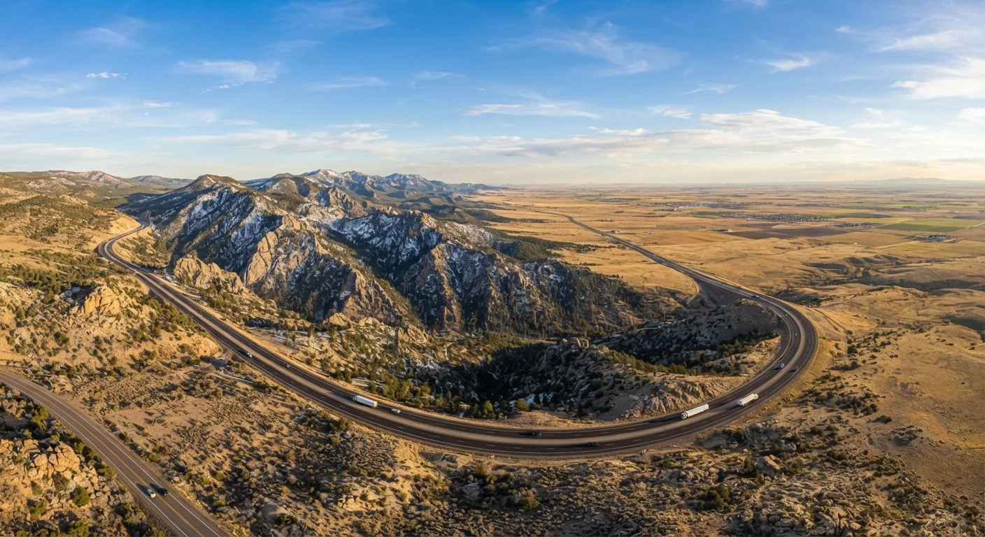
This corridor - spanning the Rockies through the Colorado Plateau, Great Basin, and desert Southwest - is the most demanding driving environment in the country. Elevations routinely exceed 10,000 feet on certain passes; altitude can affect engine performance in older vehicles and driver alertness. Summer brings extreme heat in desert lowlands (routinely above 110°F), which stresses cooling systems and tires. Mountain passes close seasonally; always verify pass conditions before departure. Fuel stops can be 100+ miles apart in parts of Nevada, Utah, and Wyoming.
Pacific Coast
The West Coast route - from the Mexican border through Washington State - combines coastal highway drama with practical driving complexity. Sections of Pacific Coast Highway involve steep grades, sharp curves, and occasional rockslides or mudslides that temporarily close lanes. Northern California, Oregon, and Washington see heavy winter rainfall; summer wildfire smoke can reduce visibility and affect air quality. Urban corridors around Los Angeles, the Bay Area, and Seattle introduce significant traffic density. For help weighing scenic versus highway routing, see our Interstate vs. Scenic Route guide.
Vehicle Readiness by Region
Your destination region should directly inform your pre-trip vehicle checklist. Mountain West driving warrants extra attention to cooling systems, brake condition, and tire tread depth. Desert routes demand you carry more water - both for occupants and as a precaution for your radiator. Winter travel in the Northeast and Midwest may require all-season or winter tires depending on your timing. Before any long-distance trip, a thorough vehicle review is worthwhile; our Preparing Your Car for a Long Road Trip checklist covers tires, fluids, brakes, and emergency gear in detail.
Cell service reliability also varies sharply by region. Remote Mountain West and rural Plains routes frequently drop signal entirely. Having offline maps downloaded before departure is a practical baseline for any cross-regional trip. See our Road Trip Navigation in the Age of Offline Maps article for how to combine digital and paper tools effectively.
The content on this site is for informational purposes only and is not a substitute for professional advice. Always consult a qualified professional for guidance specific to your situation.